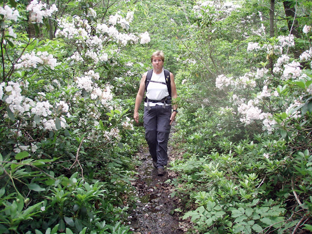
Mountain Laurel
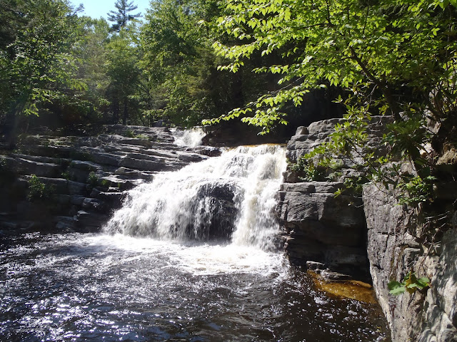
June 2018 - GUILDER POND in SW MA.
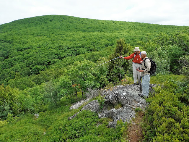
June 2018 - BEAR MOUNTAIN in NW CT.
June 13, 2016 - SOUTH TACONIC TRAIL EXTENSION hike (can't sit on our butts all the time), from Quarry Hill Rd to Shagroy Rd near Millerton. Mid-June is mountain laurel blossom time S of the Capital District. Temp in 60s & windy. Very steep climb from QH Rd, gaining 900'+ in 0.8 miles (965' elevation to 1,900' at 1st lookout). Several lookouts along the way, mostly to the west & Catskills. Slow loss of 1,000' going south. Saw a racoon climb a tree, eastern towhee; no bad bugs. 7.7 miles, 5.8 hours. Short drive to trailhead for Bash Bish Falls - start in NYS, falls are in MA. 1.5 miles. http://www.nynjtc.org/content/south-taconic-trail-extension
Jun 20, 2015 - HARVEY MOUNTAIN short hike after work in eastern Columbia county. Harvey Mtn State Forest. From Rt.22 go S 0.4 miles on East Hill Rd then take a L on good dirt road for another 1.2 miles passing some primitive roadside campsites. Hiked up gated old gravel road on the L. Easy uphill then down for a bit then up again to large blueberry field - found some ready to eat, should be great berrying in July. In the clouds at the 2,065' summit so no views for me. From the top took an unmarked path SSW going gently downhill & noticed a little mountain laurel. Turned around, now going slower, & noticed much mountain laurel flowering - lovely. Back to top & down the old road. Lovely birdsongs. 1.6 hours.
June 23, 2014 - SOUTH TACONIC TRAIL hike from Taconic State Park in Copake Falls NY. From the cabin area of the park the SCT (white paint blazes) starts climbing through an attractive open hemlock woods. After a short level area the trail climbs very steeply crossing the NY/MA border to Bash Bish Mtn (no views) gaining over 1,000'. The narrow ridge trail to Alander Mtn is lovely with stunted oaks & pitch pine, some grassy meadows & blueberry. Turned around short of Alander's summit (had to be to work at 1pm) but views from open areas were very good: could see Mt Greylock way to the N, Catskills to the W & Everett & Race Mtns to the E. Mountain laurel blossoms, but not as many as I had hoped to see. No mud or wet spots. Partridge, some mosquitoes & non-biting blackflies. Lots of people late morning in parking lot going 0.75 miles to Bash Bish Falls but I saw no-one on the SCT. 3.8 hours.
June 9, 2013 - MINNEWASKA STATE PARK hike. From Awosting parking area. Mossy Glen trail - bridge out over the Peter's Kill, water level high due to recent rains so bushwhacked upstream then out to the carriage road. After crossing Fly Stream took L on orange trail (used to be the Long Path) climbing up rock slabs revealing a view of the Catskills. Dropped steeply into Huntington Ravine to the foot of pretty Rainbow Falls. Continued up out of the ravine eventually reaching Litchfield Ledge where there are wonderful views of Lake Awosting, the Catskills, The Badlands, Rondout Reservoir & more - long break for lunch. Moved on to Battlement Terrace & Castle Point with views to the Hudson Valley & NJ. Looped back on the Blueberry Path, fittingly named, & good bridge over the Peter's Kill. Finished on the carriage road. Mountain laurel flowers (mostly pink, some white) plentiful but mostly not open yet, saw some sheep laurel flowering. 5' long black rat snake, small water snake; a few blackflies at the falls & on carriage road. 9+ miles, ~1,000 gross elevation, 6.2 hours.
June 3, 2013 - PETER'S KILL AREA hike. Shawangunks, from park office Minnewaska State Park - get map here, some new trails in the area. $8 parking fee. High Peter's Kill Footpath over notch in Dickie Barre (from W side: view of cliffs across the PK clove & N to the Catskills; from E side: view across Coxsing Kill clove to Trapps & Mohonk's Sky Top Tower), Red Loop, Bullwheel Trail - lots of steep ups & downs. Off-trail upstream (rock-hopped & waded across the stream to get to a waterfall with initial 6' drop followed by 20' drop) & downstream: cascades & falls on the PK. Pitch pine, scrub oak, blueberry, huckleberry, mountain laurel (starting to bloom). Turkey vultures, chipping sparrows. A few disinterested blackflies - not a problem. I love the 'gunks! 4.5 hours.
June 24, 2012 - ALANDER MOUNTAIN hike from the N. No other cars in the parking area on Rt.344 when I pulled in at 8:45am, 50+ cars/mobikes/bus when I pulled out in mid-afternoon - most everybody going the 0.75 miles to Bash Bish Falls. Crossed Bash Bish Brook on a good bridge & followed white markers on the S Taconic Trail. Sometimes very steep. The undulating trail from Bash Bish Mtn (no view) to Alander is very attractive, mostly oaks. Still some mountain laurel blossoms (but toward end of season for that); blueberries all over the place. Views in all directions from near the summit if you move around a bit. Greylock stands out to the N; Brace & Frissell to the S; Catskills to the W; Everett & Race to the E. Lots of birdsong; no rattlers today. 7 miles, 1,300' elevation gain, 5.3 hours.
Jun 27, 2010 - HUCKLEBERRY POINT, Catskills hike. In 2nd half of June I like to take a hike in the hills S of Albany to see the mountain laurel bloom; saw some nice blossoms but was likely past peak. Driving up Platte Clove Rd to the trailhead is a minor adventure in itself. Uphill hike on wide snowmobile trail then R on yellow trail. Interesting rockpiles, why? The woods get more interesting as one goes over a hill & approaches the point; laurel, pitch pine & oaks. View from the rocks at the point are to the S across the clove (a deep steep valley): Hudson River, Ashokan Reservoir, Overlook Mtn firetower & the peaks along the Devils Path. Blueberries. Some mosquitoes in the woods - did not use protection & got 1 bite. 4.8 miles, 4.1 hours (over a third spent hanging out at the lookout).
Jun 21, 2009 - ALANDER MOUNTAIN hike, from Mt. Washington SP HQ, Mt. Washington, MA. Very wet after recent rains, sometimes trail resembled a stream. Some really nice waterfalls early in the hike. Summit in clouds when I got there, entertained by a couple of towhees. Started raining so I retreated to a cabin a little below the summit. Rain stopped, went back to summit now with better views. Spent 1.5 hours at or near summit. Some mountain laurel (mostly pink) flowering near summit but blossoms not as pervasive as hoped for. 7 miles, 4.4 hours.


Comments
Post a Comment