

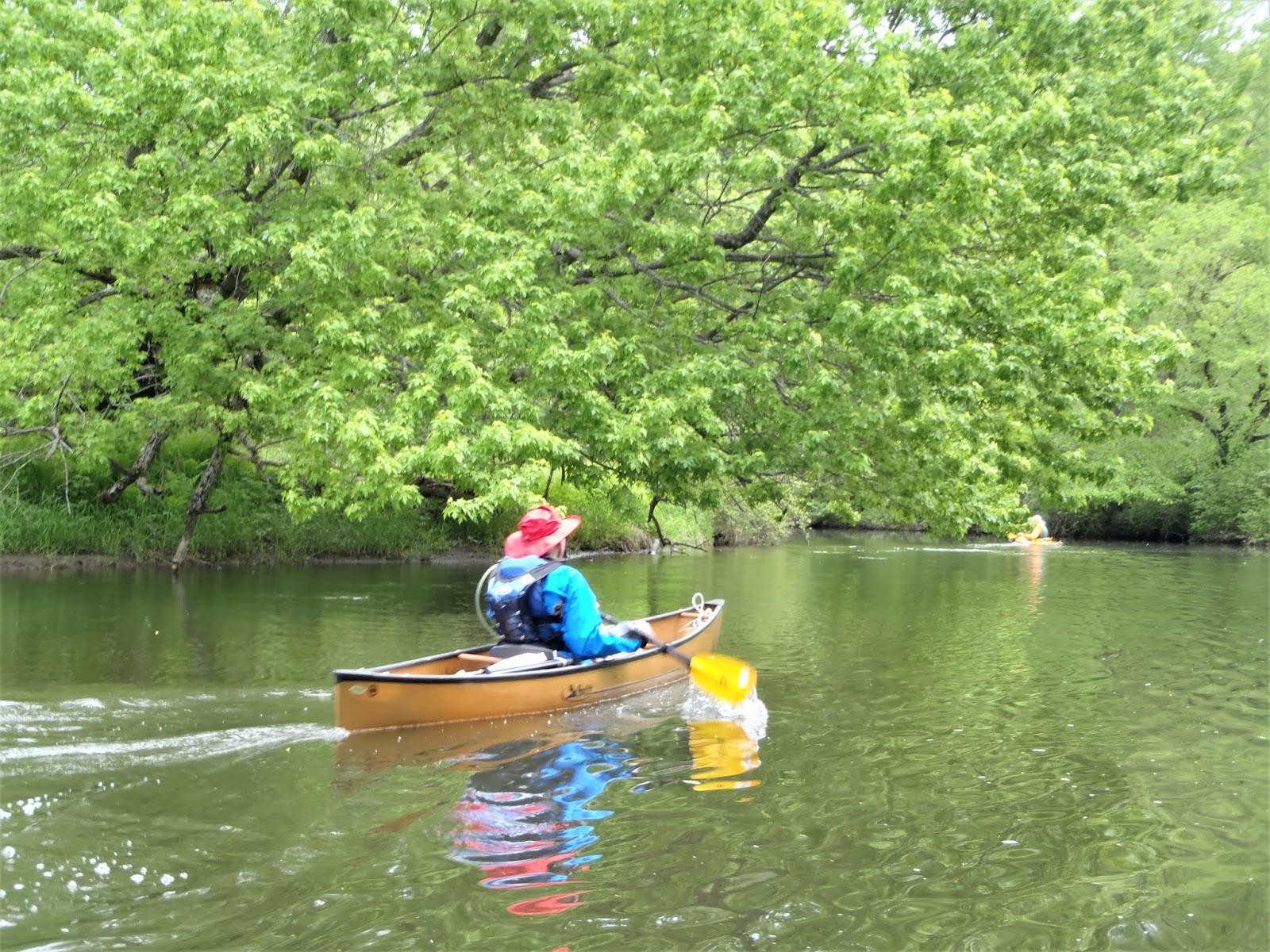
May 18, 2014 - HOUSATONIC RIVER from
Brookside Rd in Great Barrington, MA to Rannapo Rd in Ashley Falls,
MA. After recent rains most area rivers were high but the
Housatonic was at a nice level (3.8' on the Gt Barrington gauge).
This stretch of the river is 50'-100' wide. Paddled a short
distance up the Green River (clear water compared to the browner
Housatonic) and other tributaries & backwaters. Good current
most of the way, some obstacle trees in the river but lots of room to
get around these. Old Covered Bridge. Least sandpiper,
spotted sandpiper, bank swallows, oriole, yellow warbler, yellowlegs,
mallard, vulture, red-tailed hawk, carp. Lots of birdsong.
Mount Everett often in view. Light development, shores mostly
woods & fields. No bad bugs. Paddling guide pdf. 15.8 miles, 5 hours. Perception Expression 11.5, a 11'8" kayak, a good choice for this trip.


June 30, 2013 - HOUSATONIC RIVER from
Brookside Rd, Great Barrington to Rannapo Rd, Ashley Falls, MA.
Gt. Barrington gauge at 3' - a very nice level. The Housatonic runs
thru a wide floodplain; silver maples, cottonwoods & sycamores
dominate the tops of its sandy banks. The current, sometimes gentle
sometimes quicker, helps us along. Over the banks, one gets occasional
views of Mt. Everett, the Taconics & the hills to the E. Pretty soon
we are in the area where the Stockbridge indians (Mohicans) had their
great 60' long house 300 years ago. The river winds gently with some
straight stretches; many strainers & some shallows are encountered
but are easily maneuvered around. Couldn't quite get away from road
noise in this 4.8 mi. stretch to the covered bridge (white marble
pilings). 2 miles further, Hubbard Brook enters from the W. The river
pulls further away from Rt. 7 & becomes more peaceful in a 6 mi.
stretch between bridges. Near the end of the trip the river is quite
wide. Mallards, mergansers, hawks, gb & green herons,
bank swallows, sandpipers, rw blackbirds, kingfisher, 4 owls, whitetail
deer. Lots of mosquitoes at put-in & take-out, none on water
& when we stopped for lunch on a low sandy bank. 13.7 miles,
4.5 hours. Paddling guide (pdf).


Oct. 22, 2001 - Housatonic River canoeing, Gt. Barrington to Ashley Falls, MA. Merrimack Baboosic, 14' solo canoe. Put-in is south of Gt. Barrington on Brookside Rd. The Housatonic runs thru a wide flodplain; silver maples, cottonwoods & sycamores dominate the tops of its sandy banks. The current, sometimes gentle sometimes quicker, helps us along. Over the banks, one gets occasional views of Mt. Everett, the Taconics & the hills to the E. Pretty soon we are in the area where the Stockbridge indians (Mohicans) had their great 60' long house 300 years ago. The river winds gently with some straight stretches; many strainers & some shallows are encountered but are easily maneuvered around - even the 17' sea kayak in our group had little problem. Couldn't quite get away from road noise in this 4.8 mi. stretch to the covered bridge (white marble pilings). 2 miles further, Hubbard Brook enters from the W. & we lunch nearby listening to the crows in the nearby cornfields. The river pulls further away from Rt. 7 & becomes more peaceful in a 6 mi. stretch between bridges. Red-tailed hawks, turkey vultures, gb herons, kingfishers, a mink are seen along the way. Near the end of the trip the river is quite wide. We take out on Rannapo Rd. near Ashley Falls. Excellent description of most of the Housatonic in Ma. can be found in Water Trails of Western Massachusetts. 14 mi., 5.5 hrs.


Comments
Post a Comment