Posts

Showing posts from March, 2023

BOG MEADOW & SECOND POND BROOK & DIAMOND BROOK cross country skiing.

Image
  Siamese Ponds Wilderness. Jan 22, 2024 - DIAMOND BROOK ski from Edwards Hill Rd in Bakers Mills. Siamese Ponds Wilderness. From the end of plowing (1945' el), we climbed 200' on an unplowed dirt road into state land, then L on an unmarked path. Rolling terrain to an old wagon road, then a R. Just past the high point (2235') there is a new marker memorializing a hunter who died nearby. At a Y, the trail bearing R leads to Bog Meadow - we bore L. This old wagon route was detectable for a short distance but we soon were bushwhacking downhill keeping DB on our R. Although I had 4 helpers I was having so much fun route-finding in semi-open woods that I did most of the trail-breaking. Skiing out onto a vly with a view of Eleventh Mountain 1300' above was special. Went across another smaller vly. Continued on & turned around at a spot where a beaver dam created an opening (1830') - 400' loss in 2.3 miles. We had been breaking trail in ~20" of snow all the wa
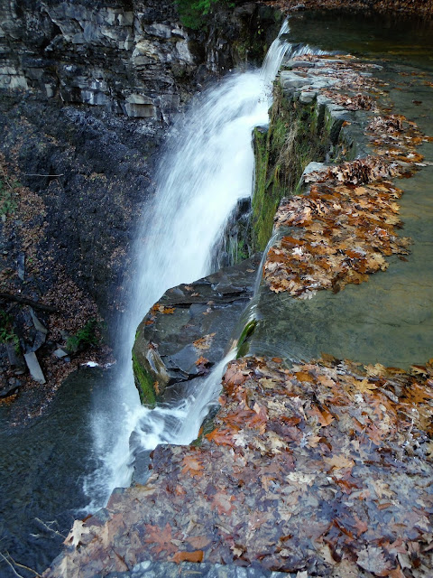
PLOTTER KILL NATURE PRESERVE hiking & xc skiing

Image
  Mar 27, 2017 - PLOTTER KILL PRESERVE from Lower Gregg Rd.  Rain this morning, temp in the 40s means soft snow.  Good skiing on up to 6" heavy wet stuff; faster in tracked areas, hard to turn on steeper hills.  Rim of the gorge red trail past the 2 power lines then back.  Had to go off-trail upstream to get across 2 streams.  2 hours. Feb 25, 2017 - PLOTTER KILL PRESERVE hike from Coplon Rd.  Day 3 of springlike weather, temp rising into mid 60s.  NE on the wet & muddy red trail.  After crossing a bridge over a tributary (which drops thru a steep narrow gorge) took a L on yellow then unmarked path steeply down to the PK passing thru red pine then white pine & hemlock woods, some ice down low, had to be careful not to slide into the roaring stream.  Back the same way.  1.5 hours.  Drove over to Mariaville Rd trailhead & walked down on icy trail to top of the 60' Upper Falls - all water, no ice. Feb 18, 2017 - PLOTTERKILL PRESERVE ski, from Mariaville Rd (Rt.159), a

FLOODWOOD PONDS & FISH CREEK loop ski

Image
  Mar 1, 2023 – FLOODWOOD PONDS & FISH CREEK loop ski from Middle Pond (parked on side of Floodwood Rd - no trailheads were plowed). Up & over canoe carry, little-used snomo trail along E side of Floodwood Pond to the outlet, Fish Creek (open water). Little Square Pond. Fish Creek to Follensby Clear Pond. N on blue – just old ski tracks. Spur to the point on Horseshoe Pond for lunch. Continued on the blue trail – wet channel between Horseshoe & Little Polliwog so skied out onto the pond & picked up a spot on the other side of the carry trail. Polliwog Pond. L on carry trail to Middle (watch out for a 1.5' drop). Very good skiing, a little sticky in the pm. Temp 28-34F, minimal wind.  8 miles, 4.2 hours. May 6&7, 2012 - FISH CREEK LOOPS from Floodwood Rd.  Floodwood Pond (camp), Fish Creek, Little Square, Copperas, Whey, Rollins, Rock Ponds.  Fish Creek, Follensby Clear, Horseshoe, Little Polliwog, Polliwog, Middle, Floodwood Ponds.  Mostly undeveloped, clear wat

OWEN, COPPERAS, & WINCH PONDS ski

Image
  Mar 2, 2023 (Thu) - OWEN, COPPERAS, & WINCH PONDS ski. Sentinel Range Wilderness near Wilmington. Mostly uphill on the way in & despite over a foot of snow there were a lot of rocks exposed - I would not recommend this route with less than TWO feet of snow. My 1980 edition of Tony Goodwin's Northern Adirondack Ski Tours said "novice-intermediate" - I would rate it intermediate+. I can't do a better description than this article by Phil Brown: https://www.adirondackexplorer.org/.../owen-copperas... . Our day was drizzly & very hazy so we missed out on the views. We went to Winch then back to Copperas & the lean-to for lunch & decided to take the short northern 0.5-mile route down & ski/walk alongside the road back to the car. The downhill was very steep & everyone eventually took off their skis & walked. 4.3 miles for the loop. Visit us on Facebook