Posts

Showing posts from 2021

ROOSTER COMB MOUNTAIN hike

Image
  Dec 17, 2021 - The morning was spent shopping for Nordic bc gear.  Started hiking at 1pm from Rt.73 & crossed a narrow bridge (no handrails), soon at a pond/reservoir, then reached state land in the High Peaks Wilderness area.  Start climbing moderately with some switchbacks & stone steps.  R at a junction.  R at another junction at the 2-mile mark & passed around some erratics.  More switchbacks to a junction.  Went R 0.1 miles down to a ledge with valley views plus The Brothers & Hurricane Mtn.  Back to the junction & another 0.3 miles to the summit - several views of Giant Mtn along the way - the last bit is very steep & there are some wood steps at one point.  Not much time to enjoy the views & quite windy, temp in the upper 30s.  Back down the same way, sunset 4:20pm, got back to the car at twilight 4:50pm - any later & we would have had to pull out the headlamps.  No snow up to this 2,762' summit, some small patches of ice up high, a few smal

SHELVING ROCK MOUNTAIN & SHELVING ROCK FALLS hiking

Image
  Dec 9, 2021 - SHELVING ROCK MOUNTAIN & FALLS hike. Shelving Rock Road is fairly steep & my driver did not like the way it looked so we parked at the Hogtown trailhead (1,200' el) for Buck Mtn. & walked down the road. Some nice brook views along the way, especially at Campsite #12. Took a R at parking area #2 (500') on Big Bridges Trail next to Shelving Rock Brook for 0.9 miles, then L on Shortway Trail. After ~1 mile started climbing moderately up the mountain, lot of switchbacks keeps it from getting very steep. A little before the summit (1,130') not much in the way of views from there) took a R on a path for ~100 yards dropping down to a ledge with very nice views over Lake George. Headed back down & took the short 0.2-mile way back to the road, 1.5 miles from the lookout. 0.4-mile trail to the very scenic falls, then lime paint blazes to below the falls for the best view. Up & up the road back to the car. The trails in this area are on old c

PEAKED HILLS bushwhack hike in the Hoffman Notch Wilderness, Adirondack Park NY + ski to pond W of Wyman Hill

Image
  Mar 5, 2022 - Started at the Dirgylot Hill trailhead (el 885'), woods road thru giant culvert under the Northway.  0.7 miles to a T, then R.  Gain (gross uphill travel) of 213' in 1st mile (makes for a fun run out at the end of the day).  The woods road soon fades into a path marked with ax blazes & leaning sticks - noted some cedars in here & some large white pines.  Steep drop to a stream crossing & steep uphill to pick up the path again.  Gain of 177' in 2nd mile.  Joined an old road that parallels 17th Brook - now climbing moderately, sometimes steeply - some lovely ash trees in this stretch, unfortunately some were blowdown across our route & made the going more challenging.  Gain of 459' in our 3rd mile.  The old road finally levels out a bit & is quite clear going thru softwoods.  Our highest elevation 1,705'.  Crossed the brook & bushwhacked N to a small remote pond that lies W of Wyman Hill.  Gain of 115' in 4th mile.  Got thru

Hiking & Paddling: North Country Fall Foliage Adventures 2021

Image
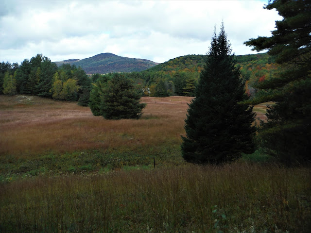
  In most years, you can find peak fall foliage colors in the higher elevations of the Adirondack Park around the end of September and in early October. By Columbus Day weekend, the bright red and orange leaves of the red and sugar maple trees will likely have dropped to the ground, but the yellows of the birches and the golds of the beeches may still be evident.  In the High Peaks, one should not be surprised to see snow-capped mountains in mid-October – the combination of fall colors topped with white is a sight to be seen.  A number of years ago, a group of us paddled Follensby Clear Pond on Columbus Day weekend in a windblown snow shower - we camped on Polliwog Pond and awoke to 1" of snow on the ground. After the first week in October, you may still find dazzling colors at lower elevations and in southern areas. Here are some destinations that you may want to visit this fall that should be of interest to both hikers and paddlers. Jenkins Mountain The Visitor Inter

DEAN FARM HERITAGE TRAILS in Stony Creek NY

Image
  Oct 6, 2021 - Did a long loop counterclockwise on #8 etc. at first.  #9 climbs fairly steeply & switches back a few times between rocks.  Came out in a hickory/maple glade, the hill topped out at a picnic table - thru-the-trees views, will be better after leaves have fallen.  There was a woodpecker around but I suspect it was a red squirrel that was after the hickory nuts.  Nice assortment of woods, brooks, wetlands, ponds, meadows.  #1 & #2 on the parking area side are handicap accessible - nice easy walking.  There are maps at most intersections.  Elevations range from 800' to 1,250'.  3.9 miles, 2.6 hours. MAP   Visit us on Facebook