GLASTENBURY MOUNTAIN backpacking on the AT/LT in Vermont
Dec 2022 - ALERT: Glastenbury fire tower is closed to public use as the Federal Aviation Administration (FAA) has recently deemed the tower structurally unsafe.
Recreationists are asked not to climb or otherwise recreate on the Glastenbury fire tower. Trails in the area including the Glastenbury/West Ridge Loop remain open.
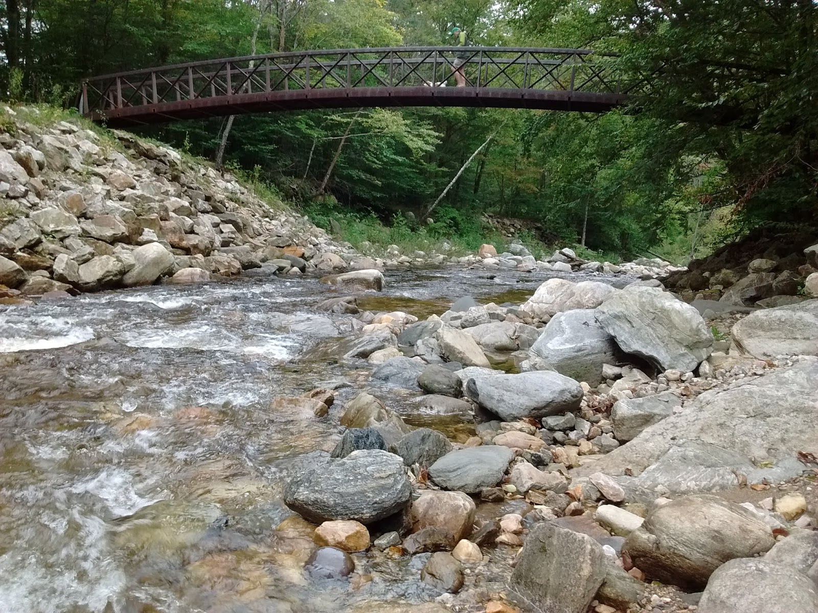
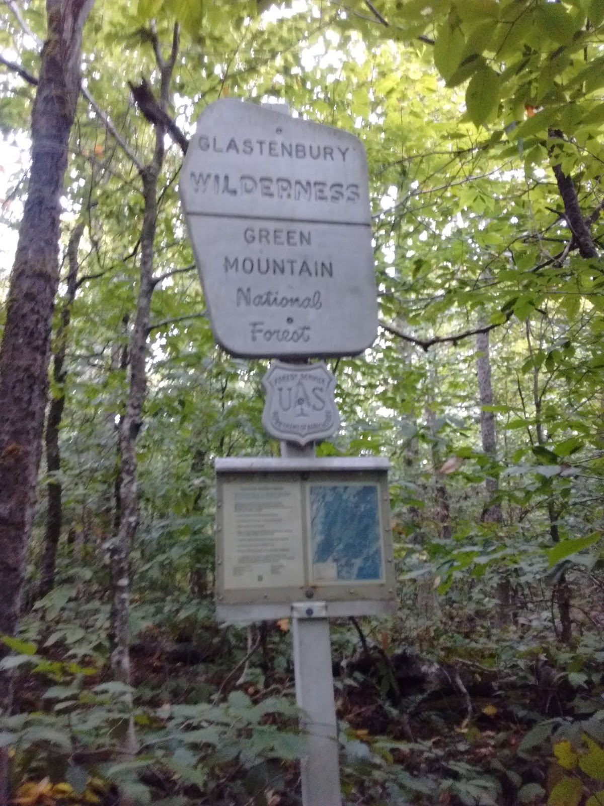
Continuing N, a power line is soon crossed with view down to Bennington & its monument plus Haystack Mtn to the E. Soon reach the top of Maple Hill (2,690') & enter the Glastenbury Wilderness. Downhill to Hell Hollow Brook (2,350') which I crossed on stepping stones (after heavy rains it may have to be waded) - there is no longer a bridge here. There is no water available for the next ~6 miles. Uphill, gaining ~500' in a mile to Porcupine Lookout (2,820') which has a view S & E - mostly wild lands except for the Searsburg Wind Farm. Down to junction with trail to Little Pond, then up past Little Pond Lookout (trees obscure the view of the pond except in winter). The AT/LT passes near the top (3,300') of Little Pond Mtn (3,331') before dropping, then goes over another couple of bumps before going steeply up to the Goddard Shelter & paralleling a snomo trail after leaving the Glastenbury Wilderness (this accommodates snomo trails).
The Goddard Shelter (3,500') is reached after 9.8 miles - it's a nice newer (2005) shelter with a front porch, moldering privy, good spring water & a small view to wind farm on the old Brodie Mtn ski area - it was hard finding any dry firewood. From there it was 0.3 miles to the fire tower on Glastenbury Mtn (3,748') - there is no window glass so can be windy up there - got up there to watch the last sunset of summer. 4 ATVs came up the snomo trail - the riders were a bit loud & left some trash at the foot of the tower. Note that the summit is forested & there is no view without climbing the tower. The temp never rose above 52F all day. Most of the route is in hardwoods: beech, yellow birch, sugar maple but at the shelter & up to the summit is all balsam fir & red spruce.
Got up early the next morning as Orion hung in the S sky & climbed back up for the 1st sunrise of fall - 35F & still windy but views were spectacular. Fog hung in the valleys & over Somerset Reservoir. Decided to explore the West Ridge Trail (back in the Glastenbury Wilderness) - went ~2 miles to former beaver ponds/meadows then back up to the shelter. Hiked S & made camp at Porcupine Lookout - no water & a bit too windy but did have a fire. Out the next day. ~25 miles total.
Interesting note: you can get free rides to Bennington or Wilmington from the Rt.9 trailhead - the MOOver bus stops twice in the early morning to Bennington & returns twice in the late afternoon - thru-hikers, especially, like this.


Day 2 - Hiked S, more uphills than downhills. Crossed a snomo trail at 2.8 miles & reached the flat summit (3,748') at 3.7 miles. Great views from the fire tower - incl. Greylock (MA), Adirondacks (NY), Killington (VT), NH; counted 26 turbines at the Searsburg Wind Farm. 2 hawks dove nearby. Dropped 200' to Goddard Shelter, a nice big lean-to with front porch. There are several campsites between the shelter & fire tower. Back to Kid Gore for the night (& sunrise). 8 miles, 6 hours. Day 3 - backpack out. Lots of bluebead lily, indian pipe & mushrooms; some raspberries & blackberries.
18.6 miles total.


Comments
Post a Comment