STONY CREEK, AMPERSAND BROOK & RAQUETTE RIVER paddling
.JPG)
July 1, 2022 - At the western edge of the High Peaks Wilderness Area, Stony Creek is not much over 1.5 miles long but one's trip can easily be extended by paddling Stony Creek Ponds to the north, Ampersand Brook to the east, and/or the Raquette River to the south.
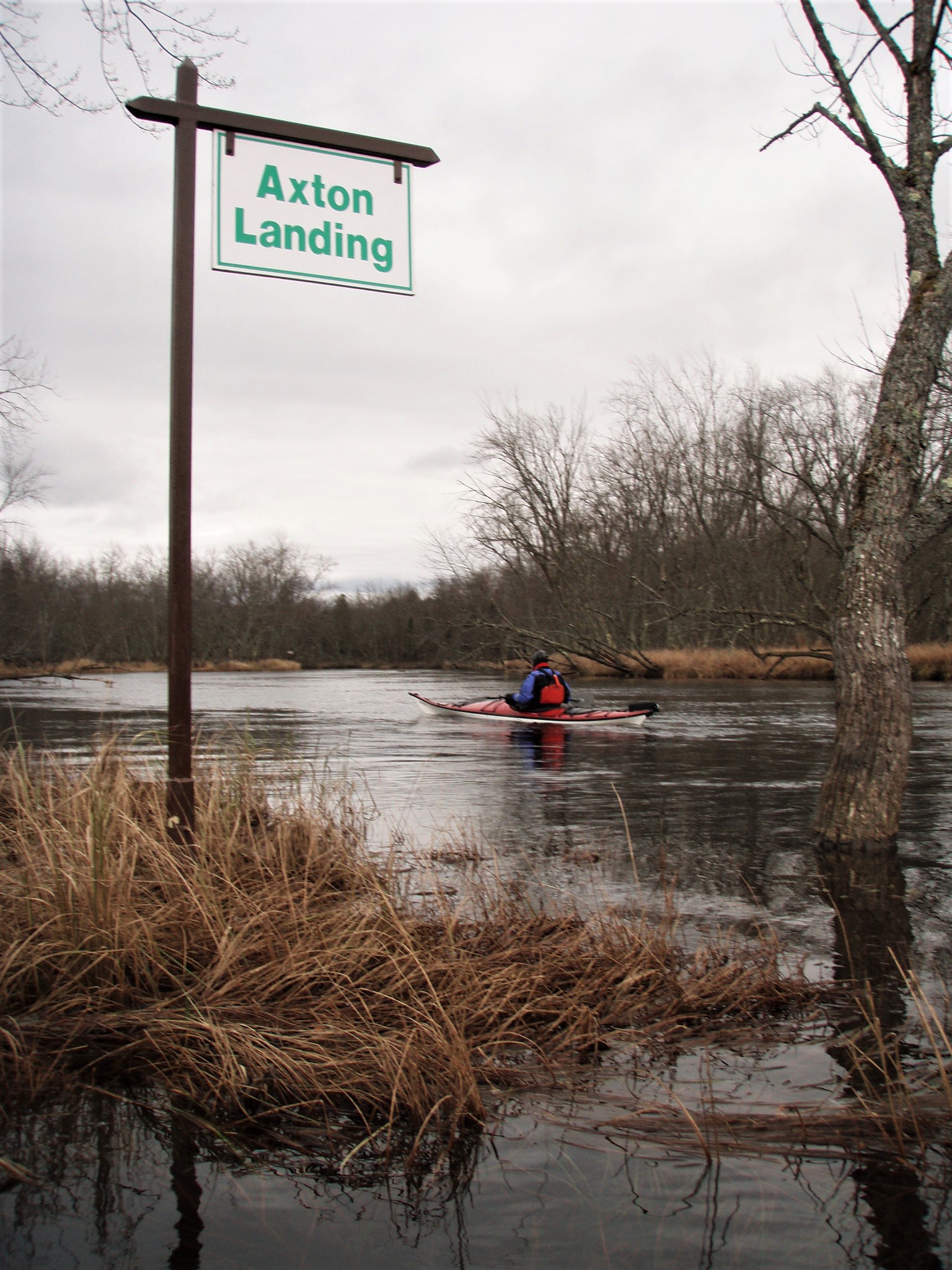
One can find a good access by the Coreys Road bridge that crosses over the creek – from NY 3 (halfway between Tupper Lake and Saranac Lake), drive south on Coreys Road for 2.5 miles (the last mile on dirt) to the bridge. You can also start your paddle on the northwestern lobe of the ponds or at Axton Landing on the Raquette River.
From the bridge, we paddled upstream. It comes as no surprise that this stream meanders about, but, unlike the East Branch, this time silver maples rise up from grassy shores and the Joe Pye weed was slightly more advanced in its flowering display here. Once again, damselflies were also seen in abundance. Grasses and other underwater vegetation bent downstream in the light current. A straight channel was seen to the right off the creek and we explored it some distance until our way was blocked – this channel between Stony Creek and Ampersand Brook was man-made and used many years ago to float logs down to the Raquette River.
Back on the creek, we soon reached the southernmost of the Stony Creek Ponds. The shores of the Stony Creek Ponds offer a mix of private and state lands. Preferring to stay away from any signs or sounds of civilization, we took a sharp right into Ampersand Brook. After a short distance, we took a left into a long backwater filled with yellow bullhead pond-lilies where we enjoyed a fine view of Stony Creek Mountain rising up 1,500 feet above the brook. Upon seeing us, an adult black duck hurried its offspring into hiding.
We returned to the brook and continued upstream passing two breached beaver dams before several downed trees blocked our way – we were no more than a mile from the creek at this point.
It was very pleasant paddling downstream retracing our route on the brook and the creek. We continued past our put-in and soon arrived at the Raquette River where we turned left, going upstream against a light current, and stopped at a sandy beach for lunch. Several other paddlers went by and the peacefulness was briefly interrupted when two jetskis arrived on the scene from upriver and proceeded to head downstream.
After lunch, we paddled a short distance up the Raquette before heading back up Stony Creek to our access point at the bridge. For the most part, it was a very enjoyable 7.6-mile paddle.
.JPG)
.JPG)

.JPG)


Comments
Post a Comment