ST REGIS CANOE AREA cross country skiing

Feb 9, 2025 - LITTLE CLEAR POND area xc ski from Conley Rd. The start is well-hidden - look for 2 snow-topped rocks about 2' in diameter. There are a few ski trail markers at first but then we were on unmarked trails into the St Regis Canoe Area around Lindsey Pond over to Grass Pond & across (a little bit slushy) then down the carry trail to LCP. Slushy near shore but better away from shore - I made it across ok but others following in my tracks accumulated some ice on skis & needed to scrape. Up the carry trail to St Regis Pond & L on a trail (flat, well-marked with yellow ski trail markers) to the Fish Pond truck trail. L on truck trail & soon L on unmarked trail past Bone Pond & around Little Green Pond then past LCP (saw a few other skiers). Most of the group (the scrapers) did not want to ski across the pond again so we completed the loop by skiing on the Rail Trail back to Conley Rd - not too exciting other than you do pass the outlet of LCP & the Fish Hatchery, 2 rangers went by on snomo patrol. Very good skiing on 3" of fresh powder on broken-out trails; ~2' snow depth. Fairly flat route - I would have liked more hills. Temp 20°F, sunny at first, cloudy later with snow flurries. 8 miles, 4 hours.


Feb 7, 2024 - FISH POND loop ski. St Regis Canoe Area. Parked on the side of the Fish Hatchery Rd. Picked up the rail trail which had better skiing than the woods road to the Truck Trail summer parking area. The first part of the truck trail was not that interesting but skiing & scenery improved the further we went. There were old ski & snowshoe tracks but skiing in untracked snow was often better. Snowshoe tracks ended halfway to Fish Pond. Some fun hills. Crossed FP to the N lean-to for lunch (6.5 miles) - the pond glugged more than any of yesterday's ponds. Carry trail to Mud Pond. Steep climb to the top of an esker on the carry trail to Ochre Pond & a couple of steep drops. Had to take skis off to cross one brook. Short break at a campsite on OP. Carry trail to St Regis Pond - distant view of Whiteface - the temp was getting into the mid-30s & the snow was a bit sticky. Carry trail to Little Clear Pond & out. 13.6 miles, 810' el gain, 7.1 hours. The ponds had <1" of powder on top of smooth ice - easy skiing. The trails had ~1' of base with some give to it + a little powder - breaking trail was not much of an issue.


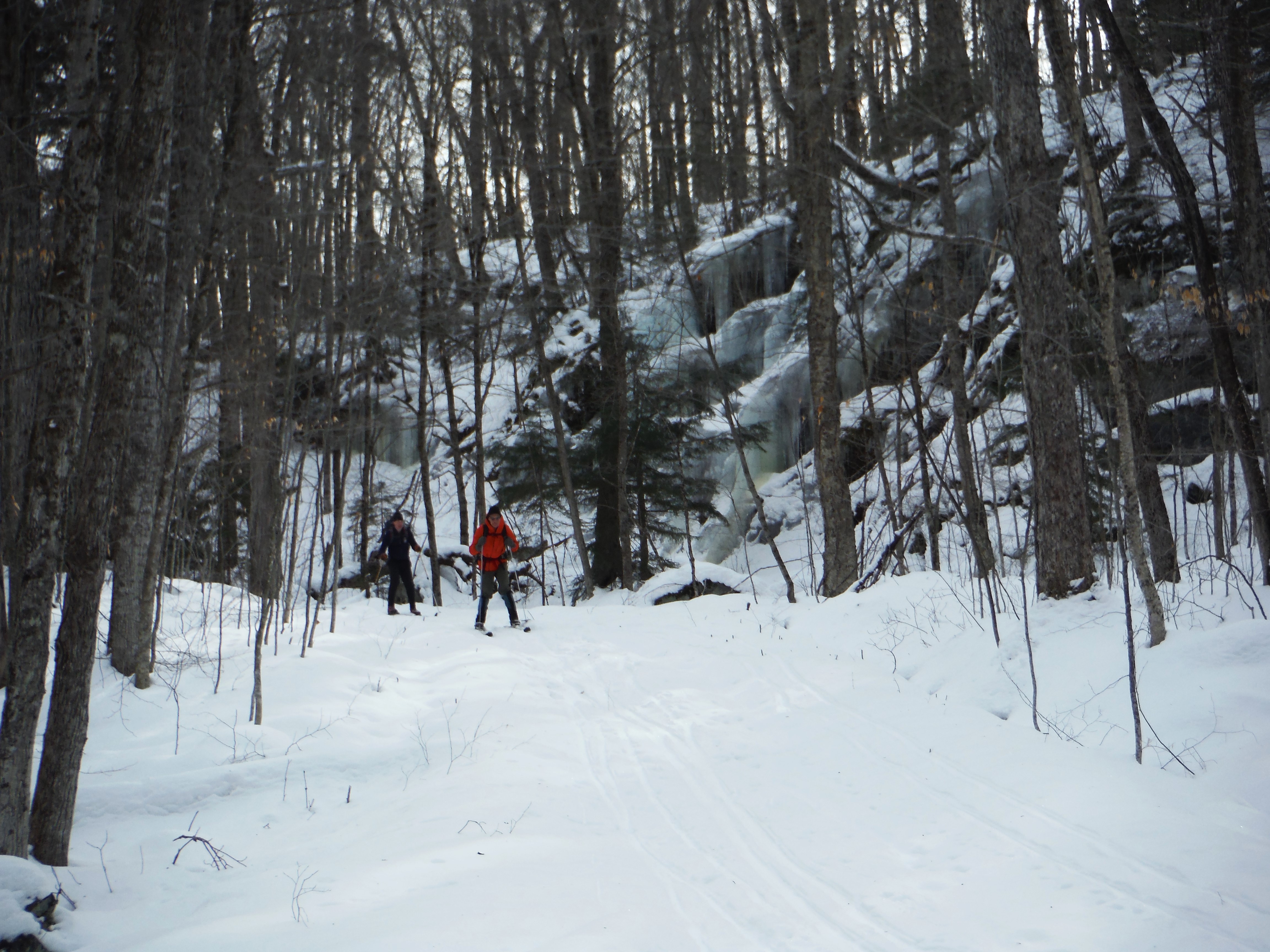
Feb 6, 2024 - ST REGIS CANOE AREA thru-ski on most of the Route of the 7 Carries. After spotting a car at the boat launch on Upper St Regis Lake, we started on a marked xc ski trail W of Conley Rd. Headed W toward Little Clear Pond then N, E, N, W, going around Conley Line & Lindsey Ponds (shown on OpenStreetMap as Oval & Kidney Bean Ponds, altho the latter looks more like a peanut to me). Over to Grass Pond - steep drop down to the pond. Carry trail to LCP. Carry trail to St Regis Pond, swung by the islands, nice view of St Regis Mtn & its fire tower. Carry trail to Green Pond & stopped for lunch on the N shore, in the sun, out of the wind. Carry trail to Little Long Pond. Carry trail to Bear Pond. Carry trail to Bog Pond. Down on the carry taril to Upper St Regis Lake & shocked to see open water!!! There are private camps on either side of the carry & bubblers were operating around their docks. Luckily for us, one of the group knew the owner of one of the camps & called them to get permission to cross their property to access the ice. We still had plenty of daylight left so decided to ski to Roiley Pond by following its outlet, Chickadee Creek, upstream. The marsh/swamp wetland surrounding the outlet is extensive & made for fairly easy skiing. We reached RP after skiing 1.8 miles from USRL. Back the same way to the lake & out to the boat launch. Temp rising thru the 20s & a little above freezing, sunny. Good base topped with a little powder. 11.4 miles, 6.5 hours.
Moral of the story: do not plan to travel between BogP & USRL in winter!
At times, the ponds made glugging sounds as we passed over them.
There were old ski tracks thru SRP, then only critter tracks after that.


Comments
Post a Comment