Posts

Showing posts from June, 2021

RAQUETTE RIVER, STONY CREEK, AMPERSAND BROOK paddling
Image
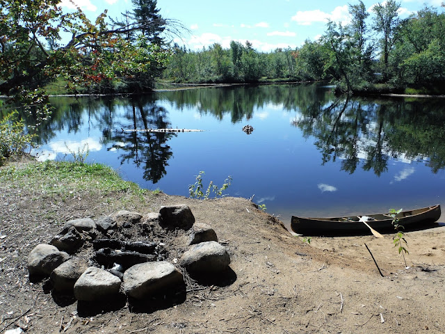
  Paddling the Raquette River article. August 11, 2025 - RAQUETTE RIVER paddling upstream from The Crusher boat launch. 1.4 miles to the Trombley Landing lean-to in a backwater. Meanders, lots of cardinal flowers blooming. Lower floodplain shores with silver maples, higher shores with mixed woods and towering white pines. Gb heron. Sewards in view. At 4 miles, up the outlet of Follensby Pond, over a beaver dam where I found an old axe. You can go half a mile through this wide marshy area before seeing new no trespassing signs, although the stream is navigable for over twice that. An eagle hit the water then over to the trees. Pickerelweed and water lilies in the backwaters. Stopped for lunch on some rocks further up the Raquette. Headed back. 2 motorboats (1 a female ranger), 3 jetskis, quite a few paddlers. Temp rising through the 70s and 80s, no clouds. No bad bugs. 11.4 miles, 5.2 hours. Sep 12, 2016 - RAQUETTE RIVER & FOLLENSBY POND OUTLET upstream from The Crusher boat lau...

PILOT KNOB hiking

Image
  Seen from Diamond Island: Buck Mtn is on the left, Pilot Knob is on the right, in between is the unnamed ridge marked with red paint blazes northwest of Pilot Knob; the Schumann Preserve is well off the photo to the right. To clarify, Pilot Knob is a 2,163' mountain south of Buck Mountain, its actual summit is on private land but state land exists east of the summit; as far as I know, there is no marked trail to the summit.  There is an unofficial trail marked with paint blazes to a ridge that lies northwest of the summit - you can reach it from the Buck Mtn trailhead on Pilot Knob Rd & is described in Discover the Eastern Adirondacks by Ingersoll.  About 2 miles south of the summit is the Schumann Preserve at Pilot Knob, owned by the Lake George Land Conservancy, which has marked trails going up the ridge to a gazebo and waterfall. Fri Oct 27, 2023 - PILOT KNOB NW hike. Started on a strip of state land that touches Pilot Knob Rd about 1 mile S of the Buck Mtn trail...