Posts

Showing posts from May, 2018

SCHROON RIVER paddling, eastern Adirondacks.

Image
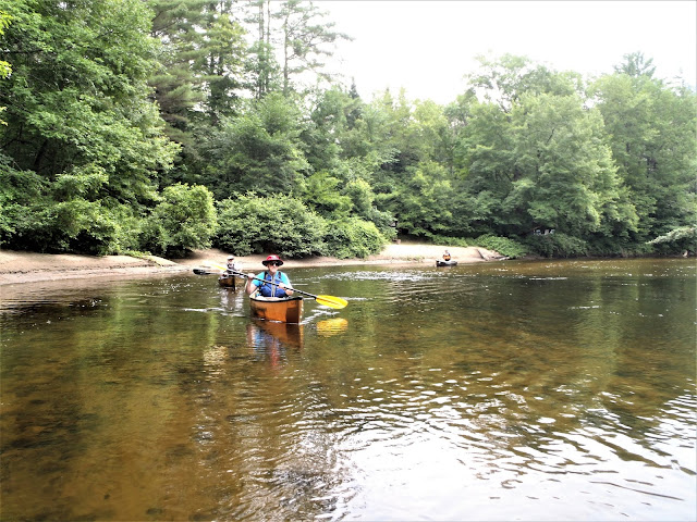
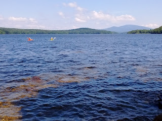
July 13, 2014 - SCHROON RIVER & LAKE thru trip from Rt.9 bridge below Schroon Falls, a class III drop, to the town beach.  Park just off Rt.9 on River Rd, 100 yard carry to bottom of rapids to start.  Shallow sand/pebbly bottom, light to moderate current, 50'-100' wide.  The river passes some cottages & a couple of campgrounds but maintains a fairly wild feel.  Lots of nice sandy banks for breaks.  No development from 2nd bridge to the lake.  Half mile side-trip up Alder Creek, had to first go over 2 small beaver dams - much pickerelweed, yellow pond lily, rose mallow, Joe-Pye-weed, swamp candles.  Last mile across the lake with 15-20 mph S wind made interesting with waves in the 1.5' range - the Prospector canoe handled things with aplomb.  Merganser chicks, black ducks, kingfishers, pileated woodpecker, white-throated sparrow.  Not too far from RT.9 & I-87 so there is some road noise.  10.8 miles, 4.2 hours. Jun 20, 2010 - SCH

SOMERSET RESERVOIR paddling in southern Vermont.

Image
Somerset Reservoir is the southernmost lake in Vermont where loons nest.  There is a little motorboat traffic limited to 10mph, no waterskiing, no jetskis allowed and can be fairly quiet.  Scenery is outstanding with views of Stratton Mtn, Mount Snow & Glastenbury Mtn.  Shores are undeveloped except for the big dam at its southern end.  One can paddle a good 15 miles around its shoreline and there are some nice picnic spots, some on islands.  The Catamount Ski Trail runs along its east side.  Camping is not allowed.  Nearest camping is 3 miles away at Somerset Airfield Campground - free car-camping with privies in the Green Mountain National Forest - not a lot of privacy, the sheriff stops and checks on things occasionally. Oct 11, 2015 - SOMERSET RESERVOIR. Water level drawn down a few feet revealing rocky shoreline. 10-15mph winds fron SW so quickly crossed to W side but still had to occasionally deal with wind & waves up to 1'. Paddled into the W bay

LITTLE TUPPER LAKE & ROCK POND & ROUND LAKE canoe camping. Adirondack Park.

Image
William C. Whitney Wilderness Area. Aug 4-7 (Wed-Sat), 2022 - Hoped to get a campsite down at the W end of the lake, well away from civilization (no sights or sounds except for 1 or 2 planes flying over).  Moderate headwind - waves up to 1'.  After paddling 3.5 miles, found #10 available & it was big enough for our group of 8 - long sand beach made for a good landing & swimming.  Red pines & hemlocks on a small bluff & a good view.  Thunderbox & fire ring.  After setting up camp, paddled around the islands near the S shore.  Loon.  Got out for a look at the Camp Bliss campsite - buggy, not desirable.  Headed up Charley Pond Outlet, under a very low bridge (slipped over a minor beaver dam, no other obstructions), & further upstream, over 1.5 miles from the lake, 40'-60' wide, lots of pickerelweed.  Back to camp.  Merlins.  Lots of loony tunes.  11 miles on the day. Day 2 - Colorful sunrise with loony tunes.  Mostly cloudy, warm day, 3 very brief